
If you’ve ever worked on a construction project, then you’ll likely come across the terms ‘site grading plans’ and ‘earthworks estimate.’ But do you know what they are? If not, we’re here to help. In this article, we’ll answer the question, ‘what are site grading plans & earthworks estimates?’
Both of the terms are different, but they are linked thematically. They both relate to grading, which is to do with the elevation and angle of the ground upon which the construction will take place.
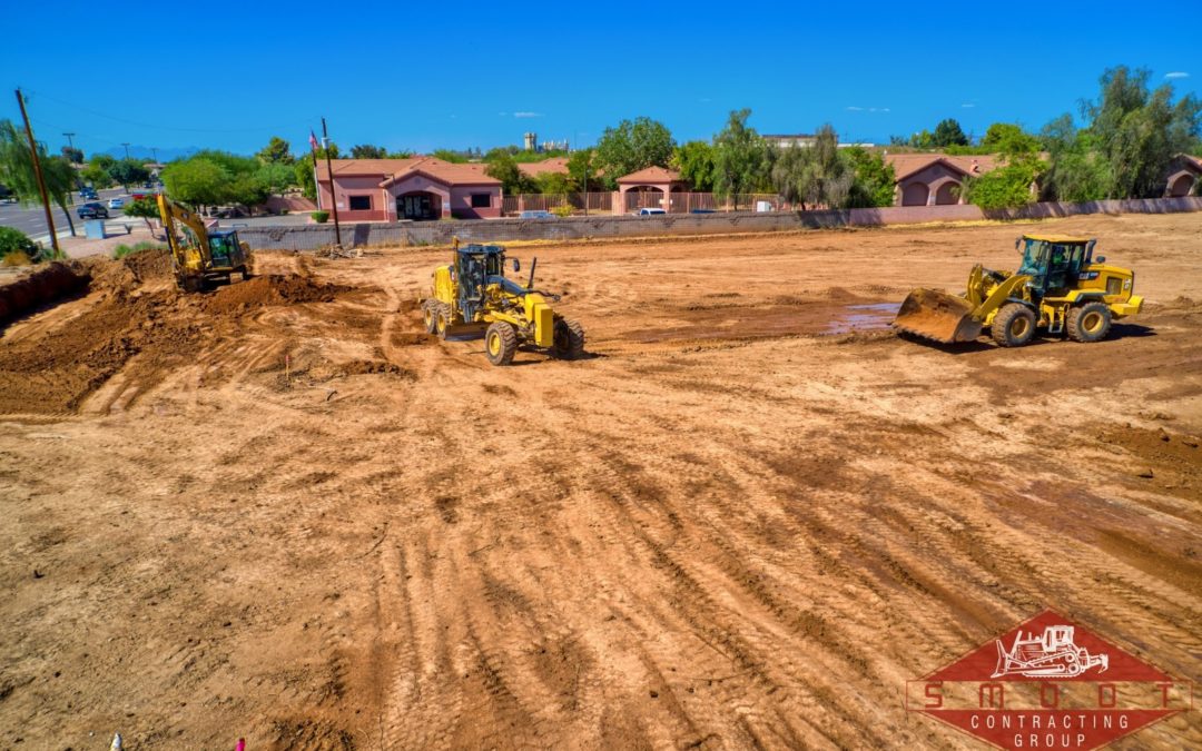
The grading process takes place right at the start of the project and fulfils the following objectives:
Prepare the Soil
The foundation beneath the building must be robust enough to support the load. It must also be flat and even. Before building, workers can analyze the surface to check that the soil is compacted and/or undisturbed. If not, then the ground may need to be compacted.
Rainwater Safety
It is dangerous for rainwater to collect beneath a home, as it could impact the foundation or the structure of the building. Through grading, rainwater will be directed away from the home.
Improve Landscaping
Grading isn’t just about making the home safe. It can also enhance the aesthetic qualities. If you’re planning on incorporating various features in your yard, then you’ll need the land to be graded in alliance with those features. It also functions to allow rainwater to drain away from problematic areas.
You can’t just dive into this type of project. Before figuring out what needs to be done, you need to figure out what’s there. To do this, the contractor will create a site grading plan. This is essentially a group of drawings that outline what the site’s topography currently looks like, as well as the changes they’re going to make.
Site Grading Plan
You’ll likely have seen some variation of a site grading plan before. It outlines the topography of the terrain, which is marked with spot elevations and contours.
Contours are drawn lines that link points that have the same elevation. Contours help to create a 3D image of the land, including the ridges, depressions, and hills. They’re used by engineers to analyze the land, which they can then decide how they’re going to adjust. They’re also used by contractors, who can visualize the changes and make adjustments, if necessary.
You’ll find intervals between contour lines; they’re used to signify elevation changes and usually come in 2-feet intervals. For example, each contour represented a 2-foot change. The further apart the contours are, the more gentle the slope. If they’ve together, then the slope is steep. Current slopes will have dashed lines; the changes that will be made will have solid lines.
You’ll also see spot elevations. They represented the elevation of a location in relation to sea level. They allow for more detail than contours, which can be useful for construction. Critical points, drainage and sewage structures, the low/high points, entrances and corners of buildings, and more. On plans, X marks existing spot elevations; + marks changes.
Grading plans don’t just show topography. They also show trees, property lines, outfall points, and more — they’re not there for decoration but because they’re crucial to the grading project. You may also see underground features (such as electrical lines or pipes) that could impact site grading.
Grading plans are usually a two-step process. Someone creates the topography of the existing site, then someone else makes proposed changes. These changes are made with budget and environmental concerns in mind.
Upon completion, the site grading plan will be looked over by officials. They’ll give a grading and excavation permit if the plan is approved. From there, you’ll use the plan as you look for quotations from general contractors. Then they will look for subcontractors who can perform an earthworks estimate.
Earthworks Estimates
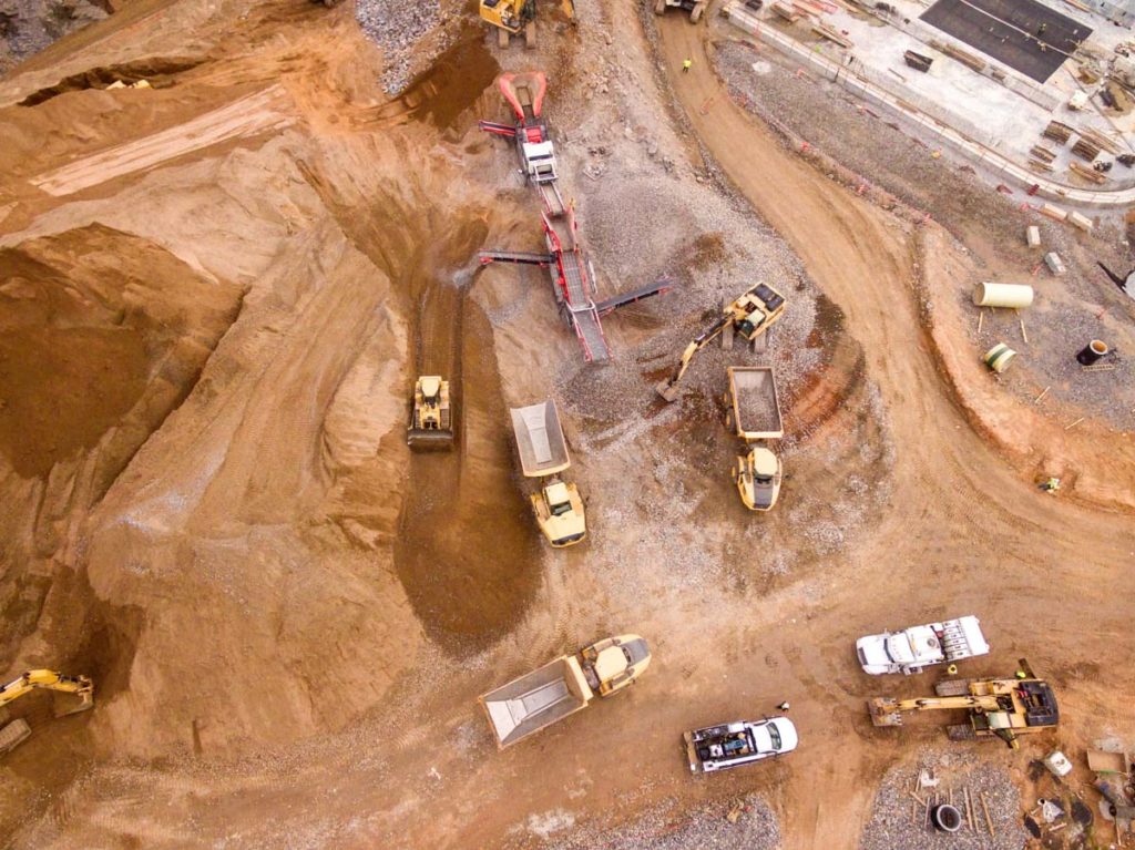
Now that we’ve got an idea of site grading plans, let’s think about earthworks estimates. This process determines the amount of soil that must be moved during the grading process, resulting in a cost. The ‘moving’ of the soil can include excavation, filling, importing, exporting, and embankment.
There are multiple factors that will be taken into account when the estimate is being created. For example, the contractor will consider:
- How many people they need to do the job.
- What equipment is needed.
- How long the process will take
If the site grading plan has been performed to a high standard — that is, it’s accurate and full of detail — then the contractor can create a reliable quote.